


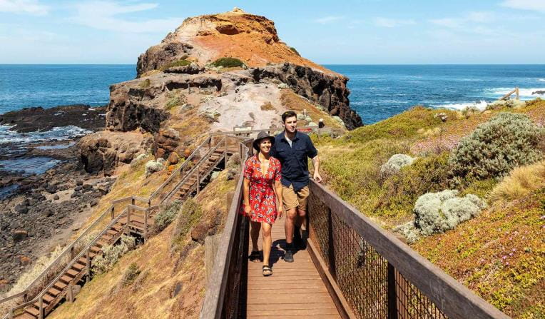
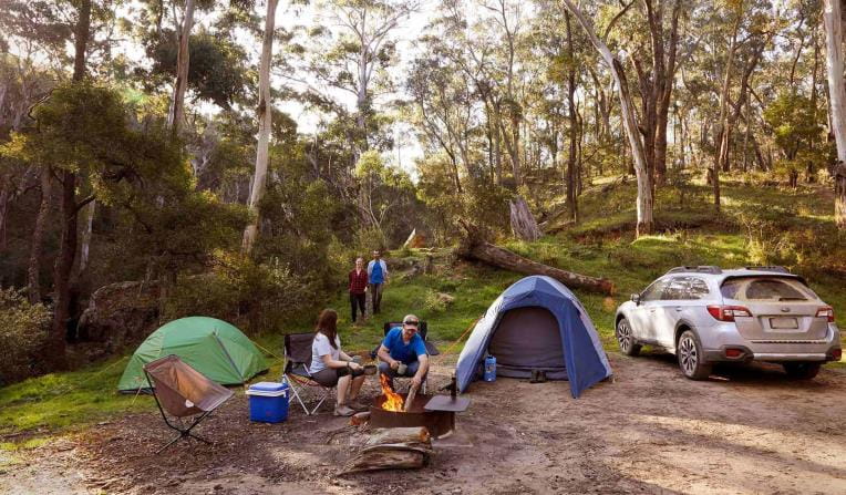
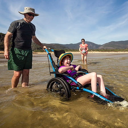
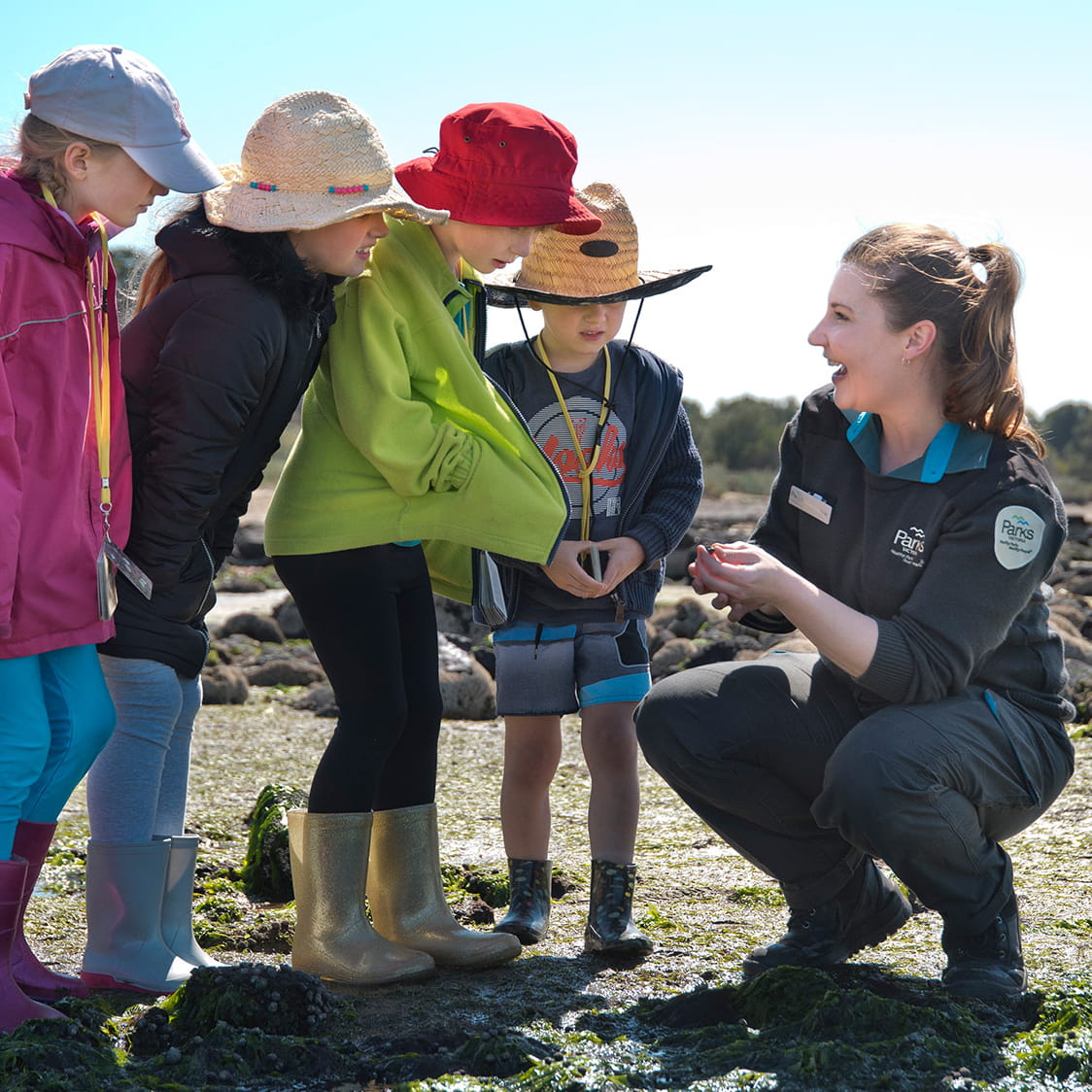
Popular experiences
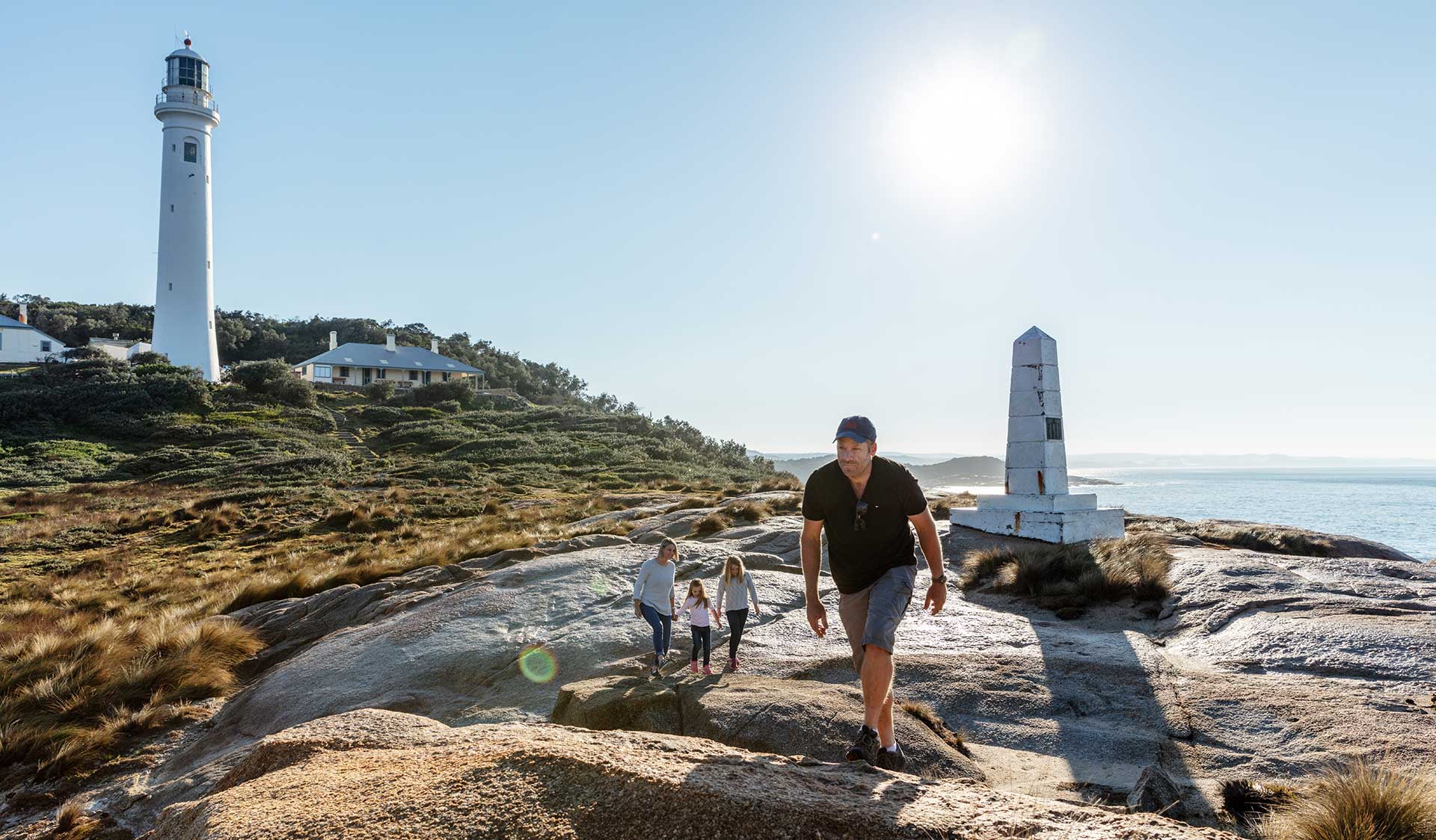
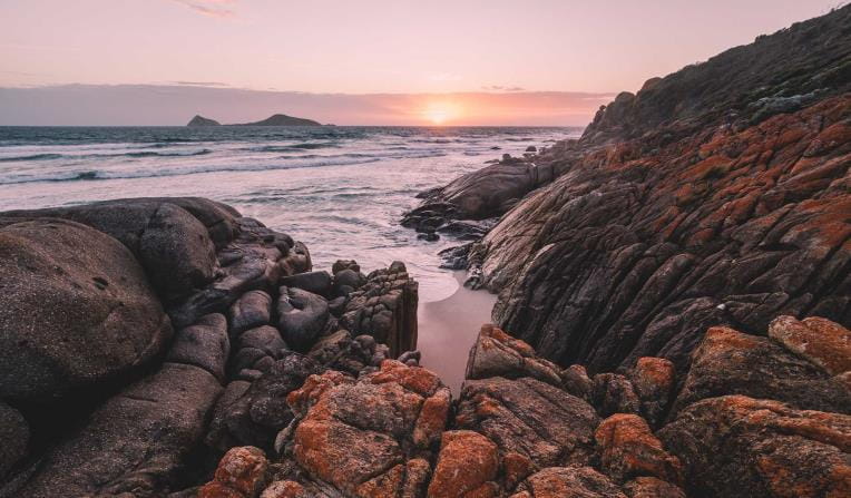
Beaches and Coasts
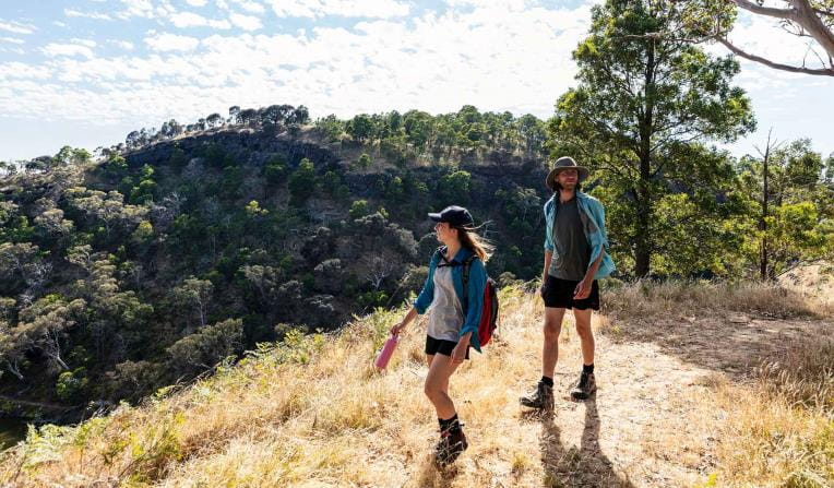
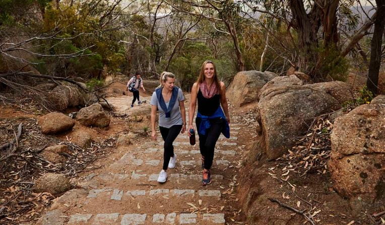
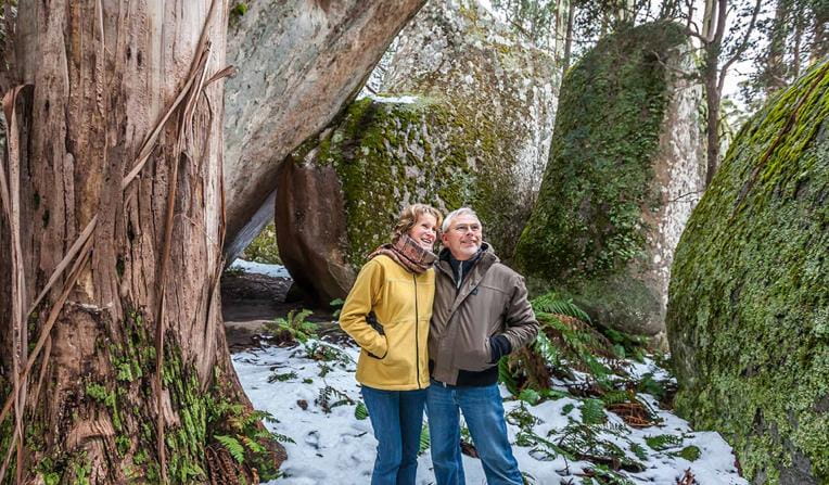
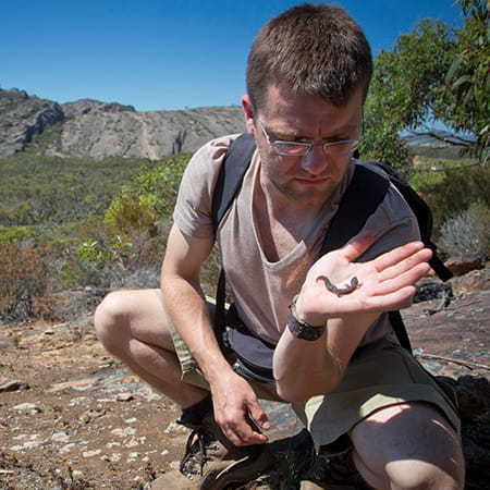
 Rugged Bushlands
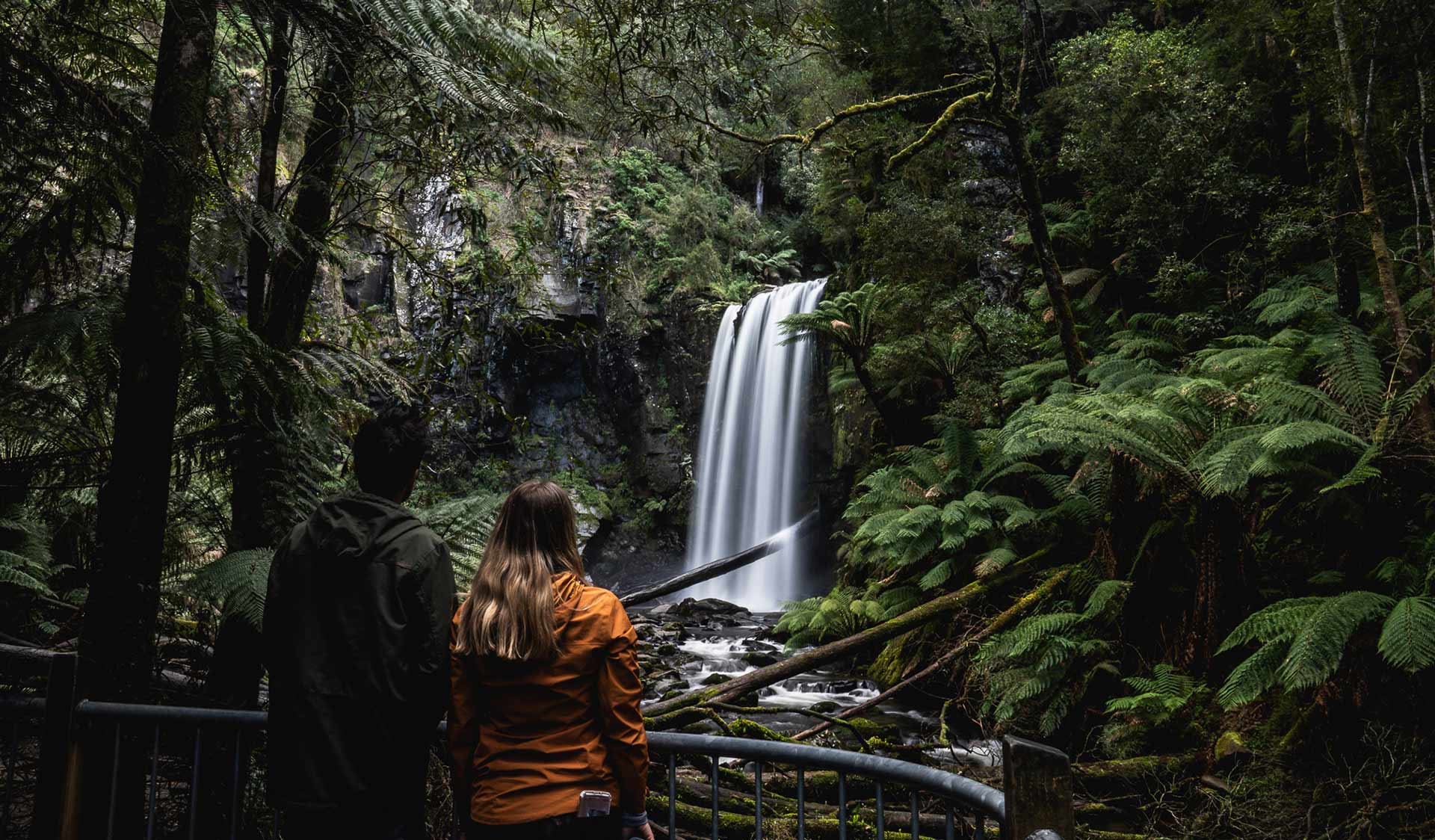
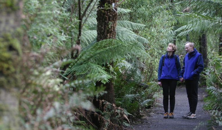
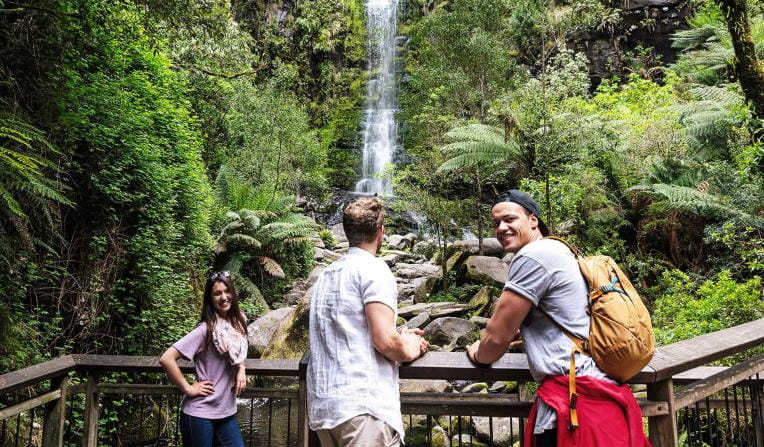
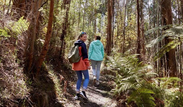
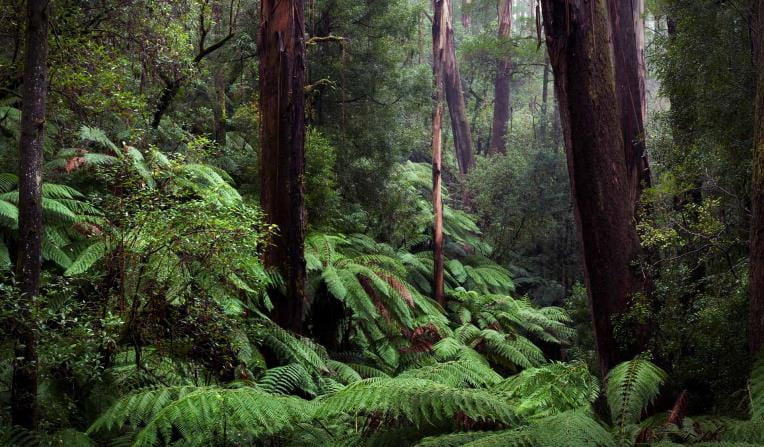
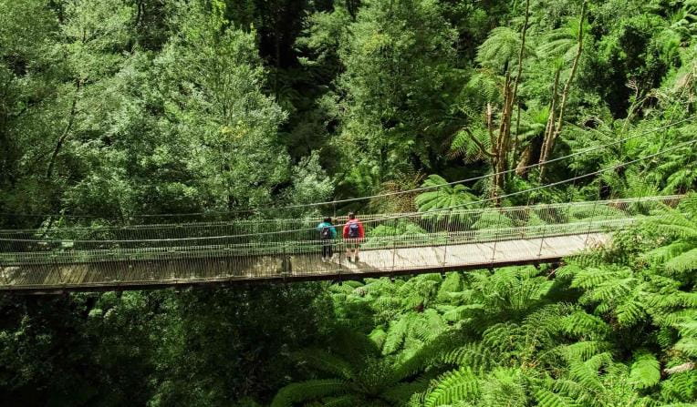
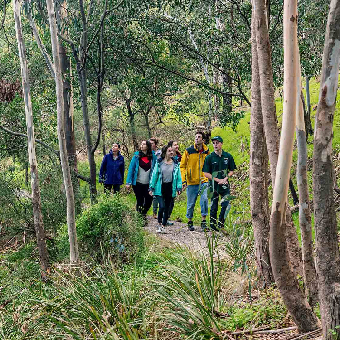
 Tall Forests
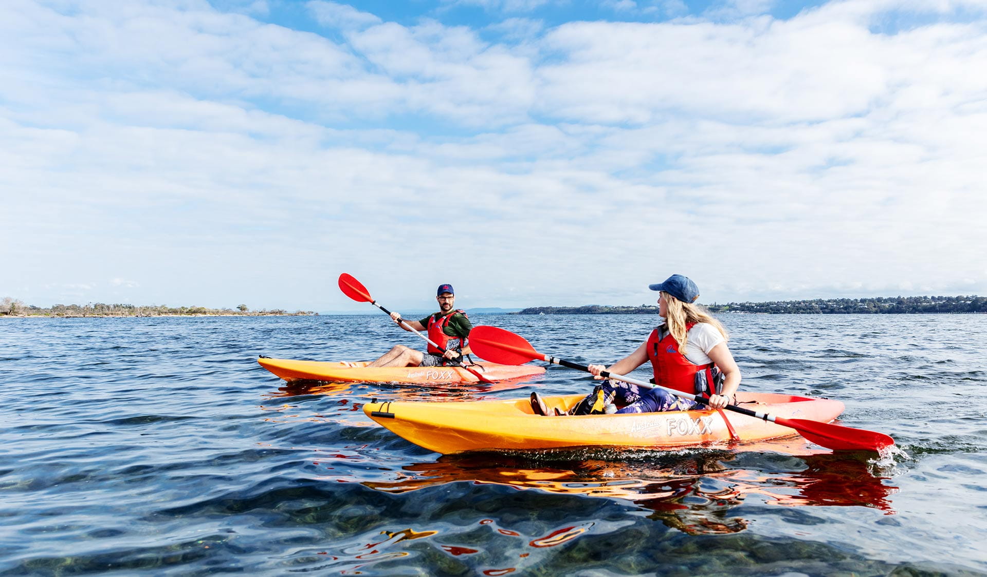
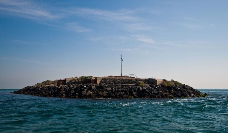
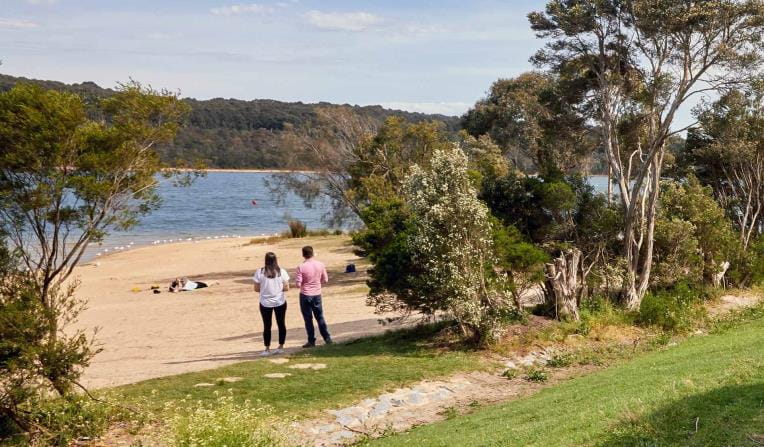
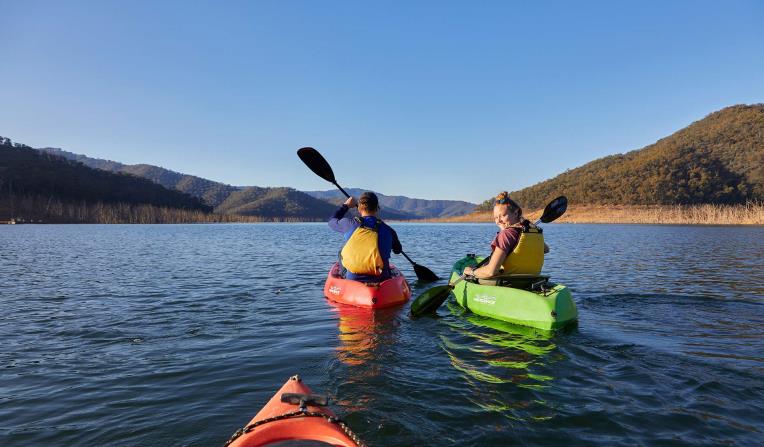
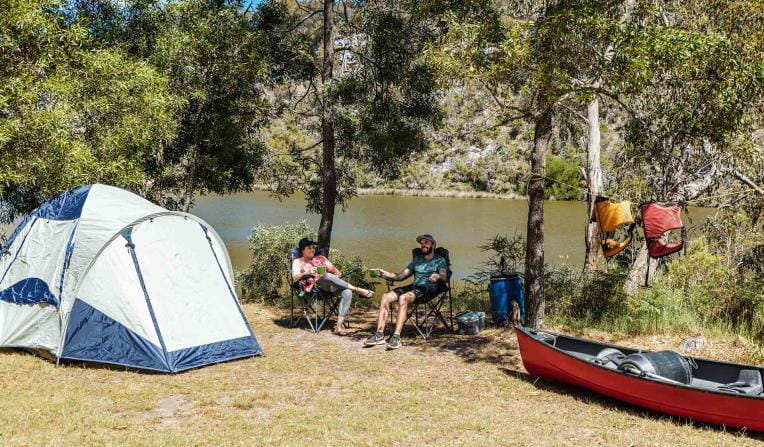
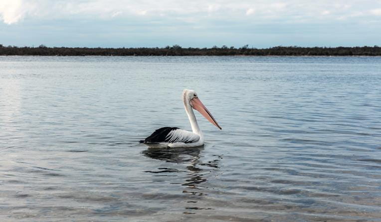
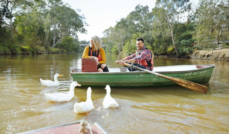
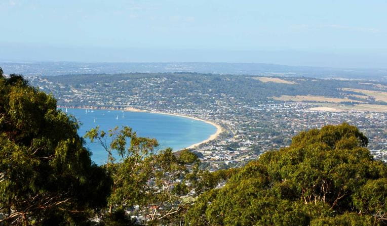
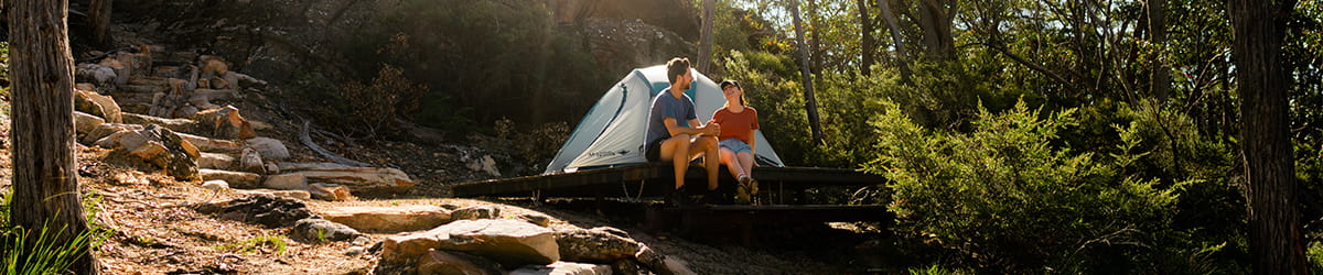
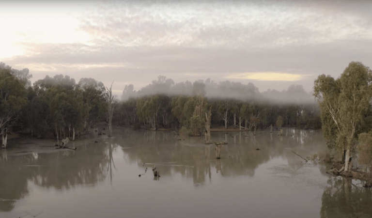
 Bays, Lakes and Rivers
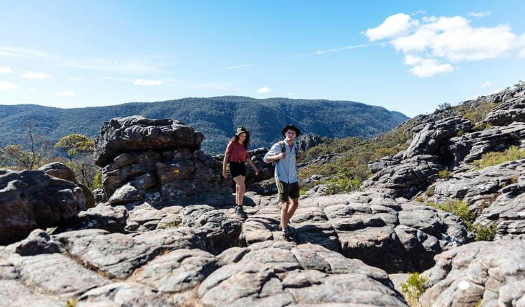
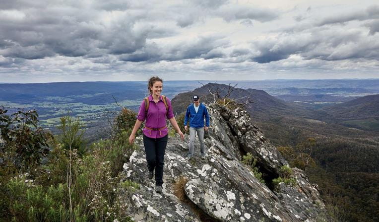
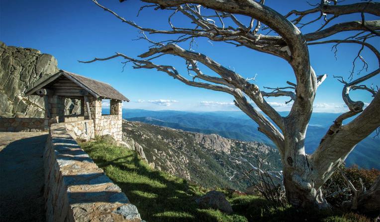
 Mountain Peaks
 Urban Parks

Rugged Bushlands
Tall Forests
Bays, Lakes and Rivers
Mountain Peaks
Urban Parks


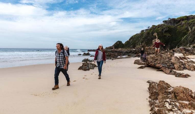
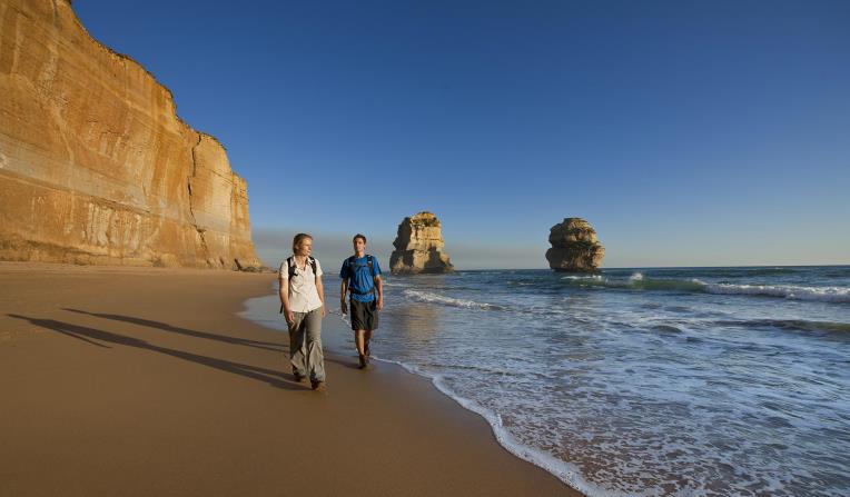
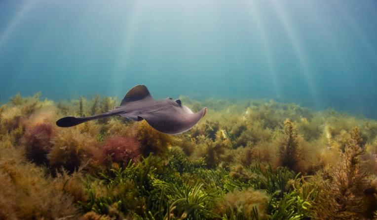
Beaches and Coasts
Venture out along Victoria's dramatic coastline and explore one of the most biodiverse and unique marine ecosystems in the world.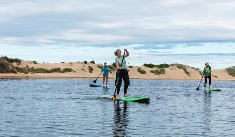
Rugged Bushlands
Escape to virtual isolation in open, dry forests and woodlands, dry and semi-dry arid deserts or grassy plains abundant with wildflowers and wildlife.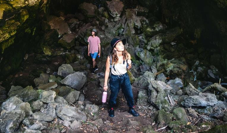
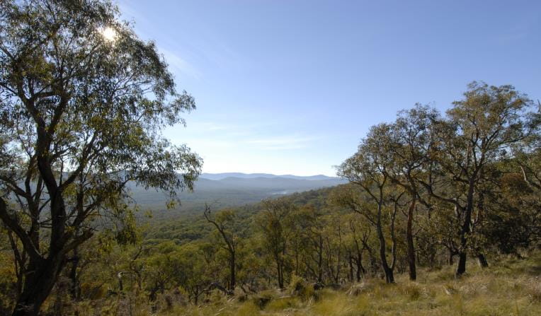
Tall Forests
Walk under grand canopies of Mountain Ash and through lush green tall forests. See ancient mossy trees and stand under magnificent waterfalls surrounded by giant ferns.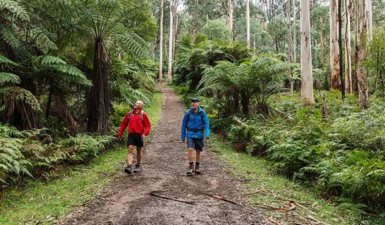
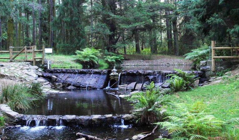
Bays, Lakes and Rivers
Explore Victoria's parks from the water with a variety of inland river systems, ports made up of wide bays and stunning tranquil lakes.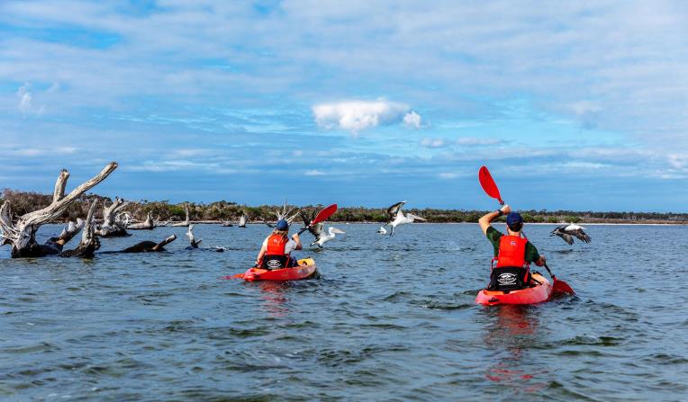
Mountain Peaks
Climb some of Australia’s most stunning mountain peaks, cross-country ski across alpine landscapes, escarpments and hike through grassy high plains.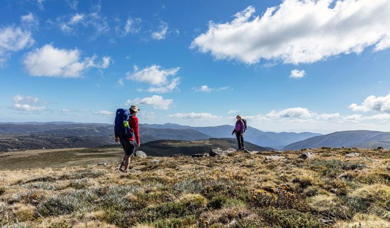
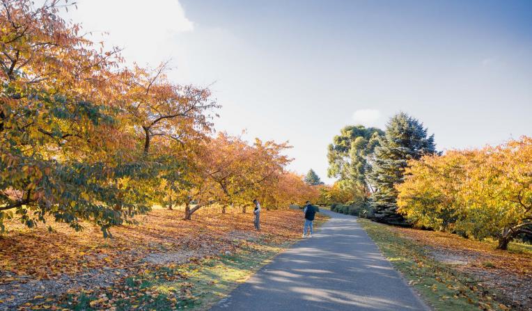
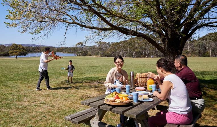
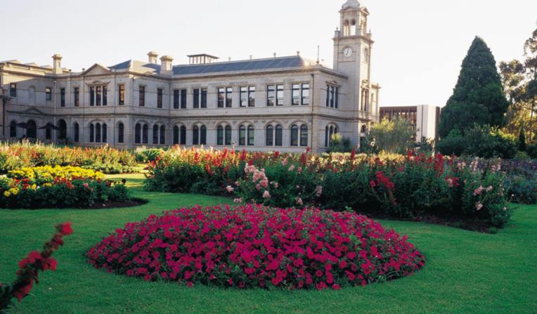
Urban Parks
Walk, jog, run or cycle in Melbourne’s picturesque urban parks. Pack a picnic or BBQ and lunch alfresco in nature or meander through picturesque gardens.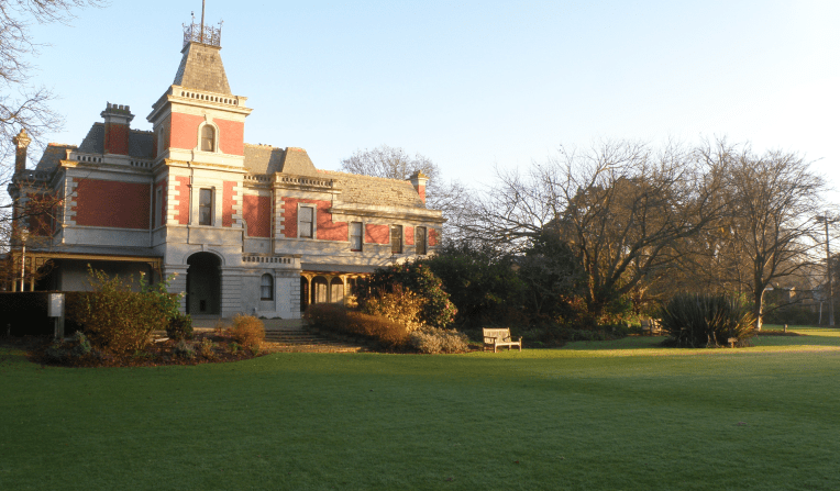

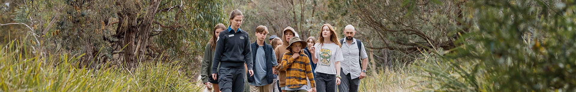
Get into nature
News
From giants to ashes: the centuries old trees disappearing from Victoria's parks
Firewood can be a cost-effective fuel for households, but it is also vital habitat for many of our native animals. How many stop to think about the origins of the firewood they burn?
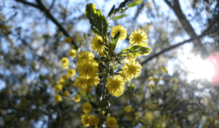
Finding gold in the Box-Ironbark forests: protecting an iconic Victorian landscape
Victoria’s Box-Ironbark forests have one of the most diverse woodlands in Australia, but they have suffered since Victorias "Gold rush" era. These areas are slowly recovering, but illegal firewood collection is impacting this recovery.
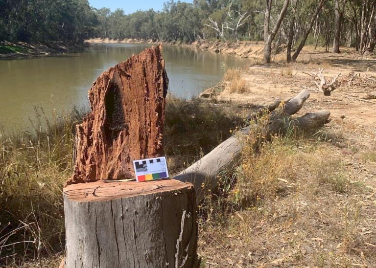
Caring for River red gum Country: protecting an Australian icon
River red gums act as the base of entire food webs in some areas of Victoria, especially in the northwest. Woody debris underneath their canopy contribute to their status as a biodiversity hotspot, but the amount of this debris has sharply declined in the last 200 years.