Explore
Baw Baw National Park
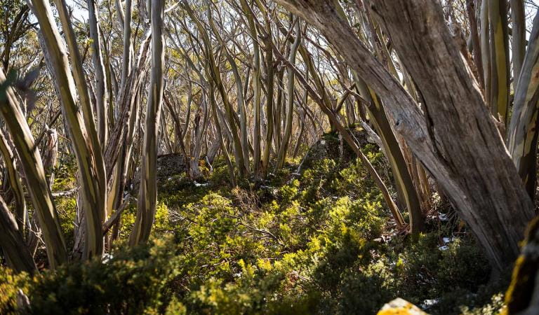
Spectacular year round, Baw Baw National Park covers a substantial part of the Baw Baw Plateau. As the snow melts see the hills come alive with vivid wildflower displays. Explore the wonderland of geological formations and walk or snowshoe one of the many trails that criss-cross through tangled snowgum forests.
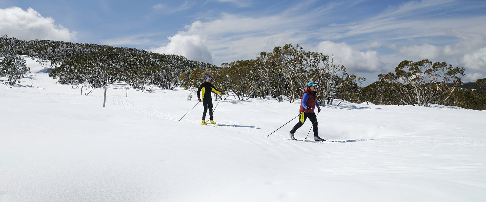
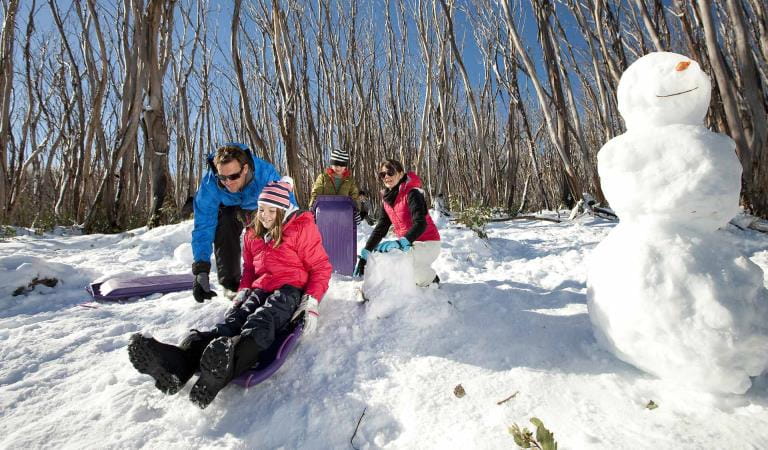
Walk a section of the Australian Alps Walking Track and discover Mushroom Rocks, a maze of giant granite tors rising from the forest. Head to Mount St Gwinear. Snowshoe, toboggan or cross-country ski one of the many trails that criss-cross the twisted snowgum forests.
Walk the same trails in spring and see the Baw Baw Plateau come alive with a vivid display of wildflowers.
Canoe or kayak down the pristine Thomson River.
Things to do in the area
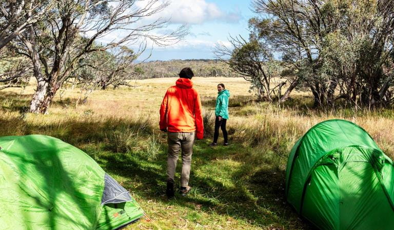
Camping in Baw Baw National Park
Mount St Gwinear
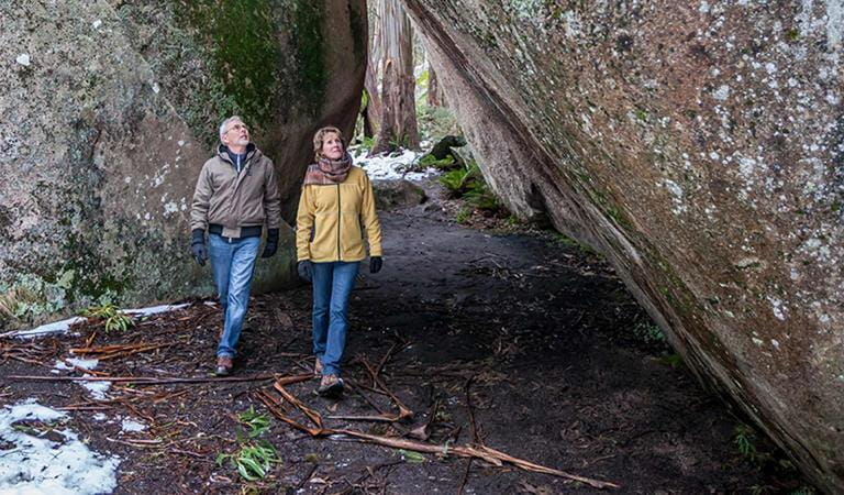
Mushroom Rocks
Baw Baw Plateau
Baw Baw National Park
Tours and adventure experiences in parks
One of the best ways you can get into nature is with a Licensed Tour Operator.
There are more than 400 Licensed Tour Operators across Victoria who are ready and waiting to help you experience and connect with Victoria’s spectacular parks and waterways.
Discover more than 60 different types of nature-based experiences including hiking, mountain biking, boating, four-wheel driving, indigenous culture tours, birdwatching, surfing, diving and so much more.
Licensed Tour Operators know all the best places to go and will plan and prepare your visit to ensure you are safe and can enjoy your nature-based adventure to the fullest.
How to get there
Baw Baw National Park
When you're there
Download the Baw Baw National Park visitor guide for more information about the park and the plethora of experiences to be had within its borders.
Need to know
Baw Baw National Park
Accessibility
Visiting a park can be more of a challenge for people with disabilities, however in Victoria there are a wide range of facilities to help people of all abilities enjoy our wonderful parks around the state.
Assistance dogs are welcome in Parks Victoria parks and reserves. Entry requirements apply for parks and reserves that are usually dog prohibited, such as national parks.
Change of Conditions
Nature being nature, sometimes conditions can change at short notice. It’s a good idea to check this page ahead of your visit for any updates.
-
Notices Affecting Multiple Parks
Ground shooting operations targeting deer
Control operations (ground shooting) targeting deer are undertaken in this area. The Park will remain open to visitors during operations.
How we keep it special
We aim to ensure that our valued parks, and the natural assets and cultural heritage they hold, can be enjoyed now and by future generations.