Explore
Brisbane Ranges National Park
Little more than an hour's drive from Melbourne takes you to the state's richest wildflower habitat. Set in a low range of mountains dissected by rocky gullies, the unusual geology of the Brisbane Ranges National Park has preserved plants that have long since vanished from other parts of the region.
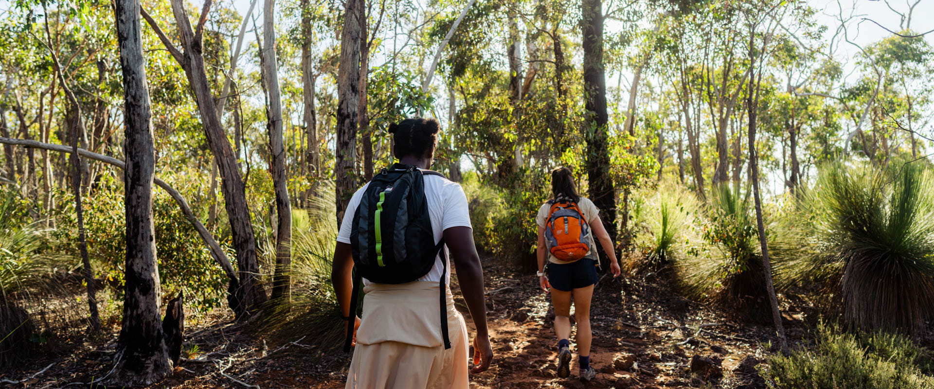
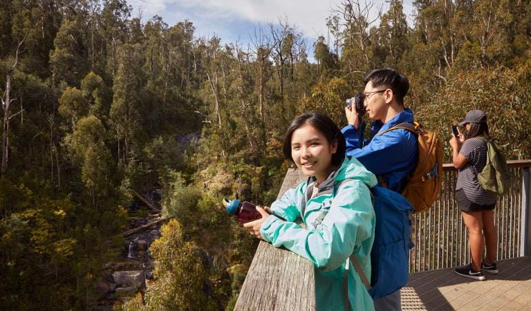
There are a number of options for bushwalking ranging from short walks to three-day walks. This park is also popular for picnicking, scenic drives and camping.
Things to do
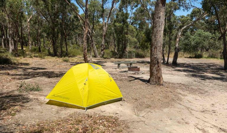
Boar Gully Campground
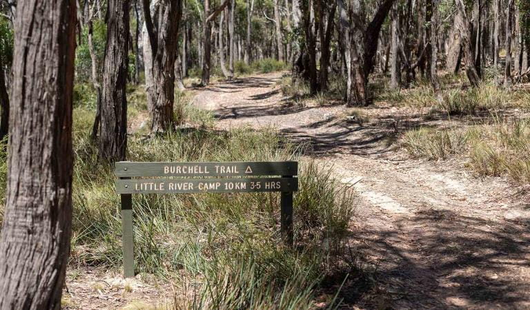
Burchell Trail
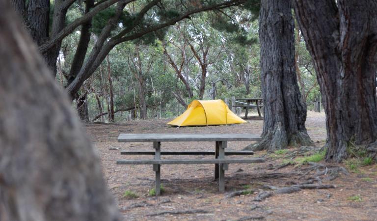
Fridays Campground
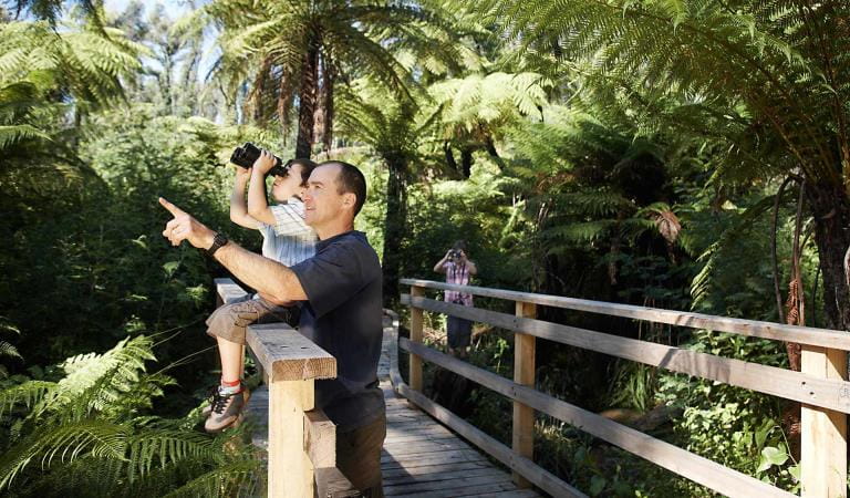
Bird watching
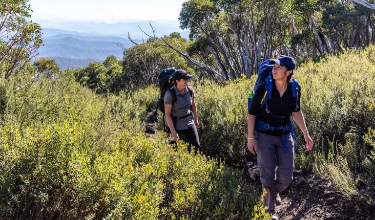
Walking
Day trips
Tours and adventure experiences in parks
One of the best ways you can get into nature is with a Licensed Tour Operator.
There are more than 400 Licensed Tour Operators across Victoria who are ready and waiting to help you experience and connect with Victoria’s spectacular parks and waterways.
Discover more than 60 different types of nature-based experiences including hiking, mountain biking, boating, four-wheel driving, indigenous culture tours, birdwatching, surfing, diving and so much more.
Licensed Tour Operators know all the best places to go and will plan and prepare your visit to ensure you are safe and can enjoy your nature-based adventure to the fullest.
How to get there
Brisbane Ranges National Park
Brisbane Ranges is located 80kms west of Melbourne, take the Western Highway to Bacchus Marsh or the Princes Highway toward Geelong. Book online for camping at Boar Gully, Fridays Camping Area or a site for an overnight hike along the Burchell Trail. Camping must be booked in advance.
Thompsons Road and Reids Road provide the best access to the northern end of the National Park while the Geelong Ballan Road provides the best access to the Southern end of the Park.
When you're there
Need to know
Brisbane Ranges National Park
Accessibility
An all terrain wheelchair called a TrailRider is available for park visitors with mobility difficulties and this chair is owned and managed by the Moorabool Shire Council. For more information or to make a booking, please contact:
Moorabool Shire
Lerderderg Library
Bacchus Marsh
215 Main St, Bacchus Marsh
Phone: (03) 5366 7100
Email: info@moorabool.vic.gov.au
Website: www.moorabool.vic.gov.au
Assistance dogs are welcome in Parks Victoria parks and reserves. Entry requirements apply for parks and reserves that are usually dog prohibited, such as national parks.
How we keep it special
We aim to ensure that our valued parks, and the natural assets and cultural heritage they hold, can be enjoyed now and by future generations.