Explore
Cathedral Range State Park
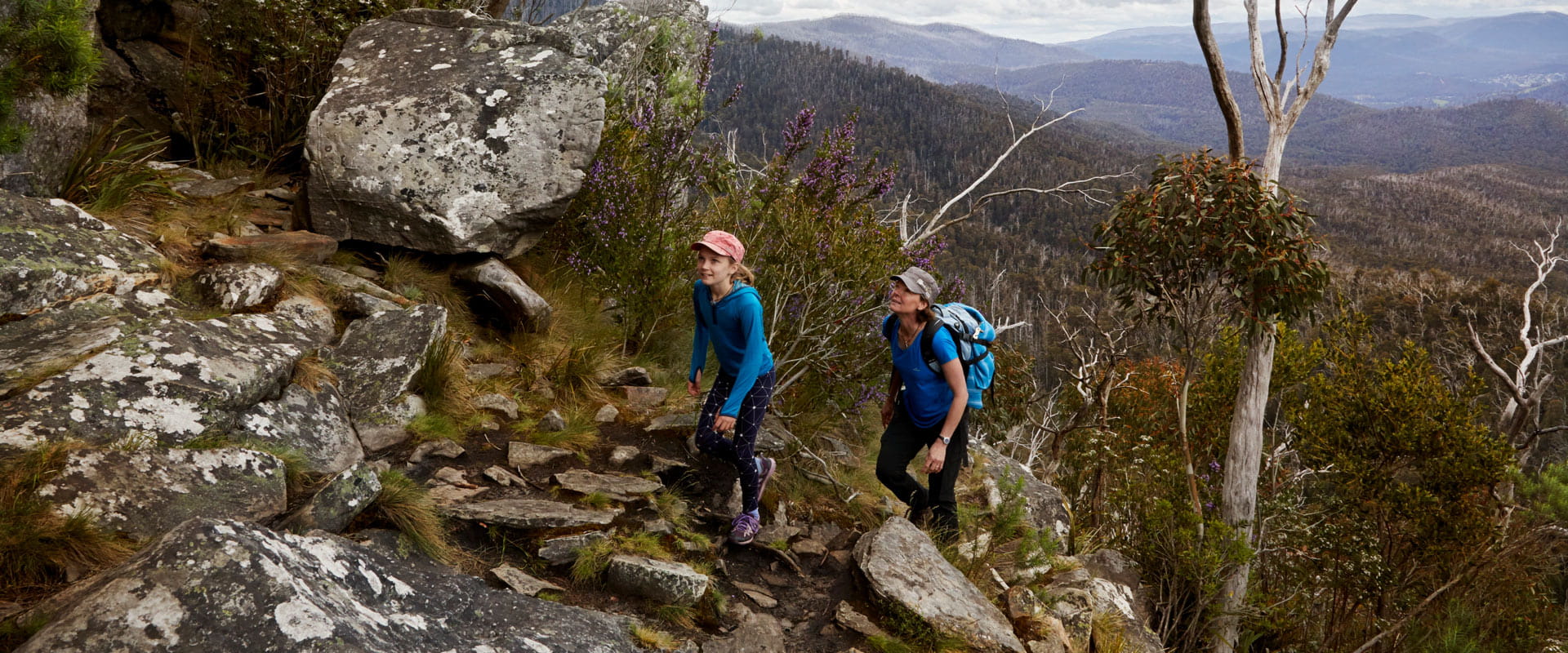
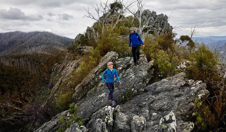
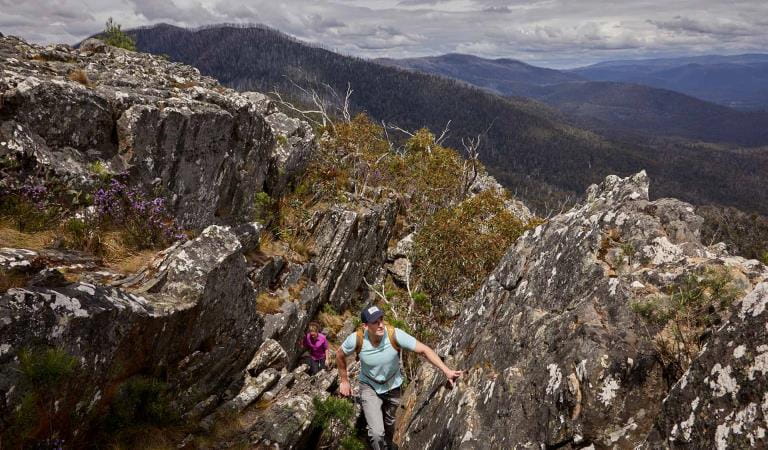
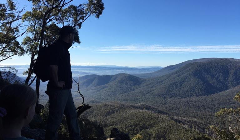
The jagged ridges of the Cathedral Range offer spectacular views and some of the best hiking in the state. Take a gentle walk along the Friends Nature Trail or prepare to tackle the rugged and challenging Razorback Trail or circuit routes. Either way you won't forget the awesome views.
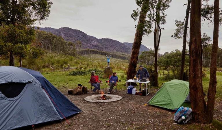
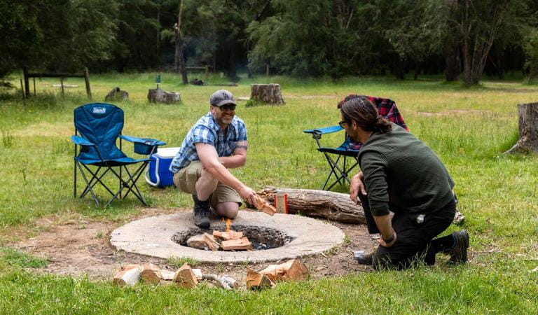
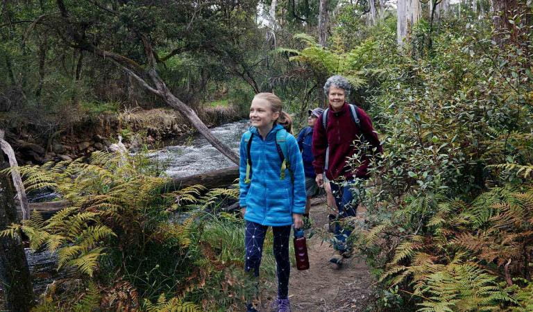
Spend a night under the stars in the company of native wildlife such as kangaroos and lyrebirds. Camp by the ruins of Cooks Mill or escape the crowds at The Farmyard hike-in camping area. There are easy walks including the Friends Nature Trail and the tranquil Little River Walk.
Experienced walkers can tackle the Razorback Trail or take an overnight hike through Cathedral Range State Park. Follow the Southern or Northern Circuit through open forest and up rocky ridges for breathtaking views across the park.
There's also rock climbing for beginners and experts. Practice bouldering at The Boulders or try the tricky Sugarloaf Saddle or North Jawbone. A small stand of the world's tallest flowering tree, the Mountain Ash, can be found at Sugarloaf Saddle. Some of these amazing plants approach 90m in height.
Things to do in the area
Cooks Mill Camping Area
Neds Gully Camping Area
Friends Nature Trail
Razorback Trail
Sugarloaf Saddle
Canyon Walk
Wells Cave Track
Camping in Cathedral Range
Tours and adventure experiences in parks
One of the best ways you can get into nature is with a Licensed Tour Operator.
There are more than 400 Licensed Tour Operators across Victoria who are ready and waiting to help you experience and connect with Victoria’s spectacular parks and waterways.
Discover more than 60 different types of nature-based experiences including hiking, mountain biking, boating, four-wheel driving, indigenous culture tours, birdwatching, surfing, diving and so much more.
Licensed Tour Operators know all the best places to go and will plan and prepare your visit to ensure you are safe and can enjoy your nature-based adventure to the fullest.
How to get there
Cathedral Range State Park
When you're there
Need to know
Cathedral Range State Park
Accessibility
Cathedral Range State Park is not recommended for wheelchair users, due to its rugged and uneven terrain.
Assistance dogs are welcome in Parks Victoria parks and reserves. Entry requirements apply for parks and reserves that are usually dog prohibited, such as national parks.
Walking on the range: plan and prepare
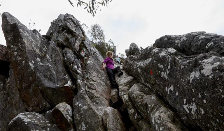
The Cathedral Range is a special place that has a lot to offer hikers, but it should not be underestimated. The range is dominated by rocky ridges and outcrops and walks on the range involve climbing steep rock faces and traversing rock steps, uneven and slippery track surfaces. Weather conditions can change quickly making it important to always be prepared for all types of weather.
To help you safely enjoy walking on the Cathedral Range:
- Always wear sturdy shoes with good tread, a hat and weather proof clothing. Carry water proof clothing, sun protection, map, compass, GPS, torch, fully-charged phone and basic first aid kit.
- A topographic map of Cathedral Range is recommended.
- Carry adequate drinking water and food. Water is not available on walking tracks.
- Phone signals are unreliable. Telstra is the best network but coverage is limited and cannot be guaranteed. Hikers should consider carrying a radio or personal locator beacon.
- Walking alone is not recommended.
- Before setting out on your walk let someone know where you are going, your expected time of return and vehicle details. Let your contact know when you have returned.
- Allow plenty of time – don’t head up on the range for a walk in the late afternoon. Due to difficult terrain on the range, distances may take much longer to walk than you expect.
- Keep to defined, marked walking tracks and do not cut corners. It is easy to lose sight of the trail and triangular trail markers are only sparsely provided.
- Sugarloaf Peak walks are not recommended for young children.
- The range is best avoided on days of extreme weather. Do not climb the range on days of Total Fire Ban.
- Carry out all rubbish, including food scraps.
- Toilets are not provided along the range or at The Farmyard hike-in camping area. Bury all waste and toilet paper at least 15cm deep and at least 100 metres from campsites and watercourses. Mix waste with soil to aid decomposition and to discourage animals digging up the waste.
Subscribe to Parks Victoria
Sign up to receive the latest ideas, inspiration and news delivered right to your inbox.
Change of Conditions
Nature being nature, sometimes conditions can change at short notice. It’s a good idea to check this page ahead of your visit for any updates.
-
Cathedral Range State Park
Cerberus Road, to Sugarloaf Saddle Carpark and Jawbone Carpark
Cerberus Road, to Sugarloaf Saddle Carpark and Jawbone Carpark, is currently in very poor condition.It is not recommended for two-wheel-drive, or low-clearance all-wheel-drive, vehicles.Tweed Spur Road, to Messmate Walking Track and Blue Range Road
Tweed Spur Road, to Messmate Walking Track and Blue Range Road, is closed to vehicles due to storm impacts.It will remain closed to vehicles until road repairs are made.Walkers are permitted, and are advised to use caution due to changed road conditions.
How we keep it special
We aim to ensure that our valued parks, and the natural assets and cultural heritage they hold, can be enjoyed now and by future generations.