Explore
Lerderderg State Park
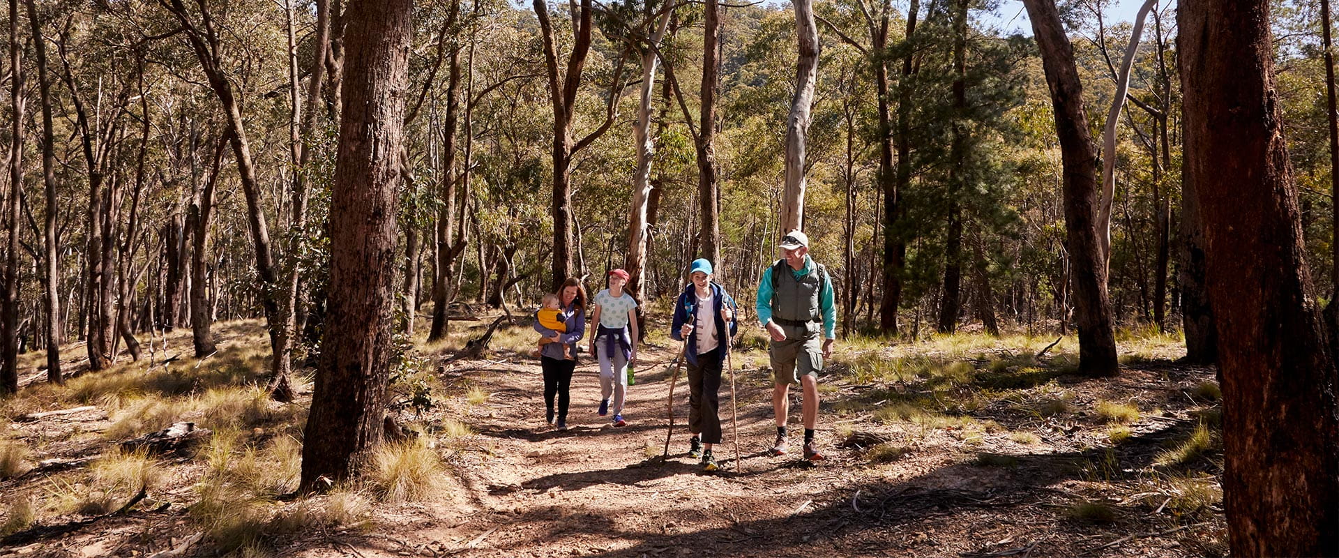
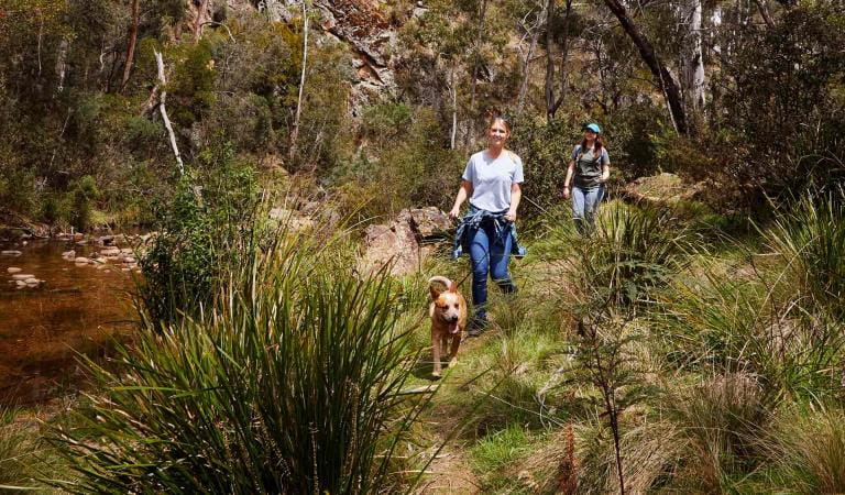
The Lerderderg River has carved a deep and picturesque gorge through this rugged park located within easy reach of Melbourne, Bacchus Marsh and Ballarat. Picnic at Shaws Lake or O'Briens Crossing, follow an old water race and hike part of the Great Dividing Trail, or simply stroll along the river from Mackenzies Flat Picnic Area.
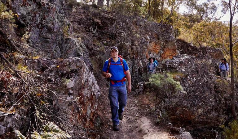
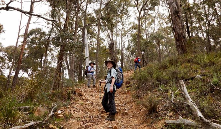
Although this park is just an hour's drive from Melbourne, it feels truly remote in many areas. See the Lerderderg River Gorge which dominates and divides it in two from O'Briens Crossing in the north to Mackenzies Flat in the south. Experienced hikers will be rewarded with dramatic views.
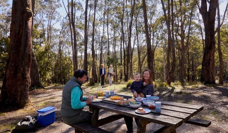
Bring the family and enjoy a barbecue by the river then take a gentle stroll upstream to Grahams Dam. Set up camp at Lerderderg Campground, which is a popular spot set in woodland.
Things To Do
Amblers Crossing
East Walk and Cowan Track Loop
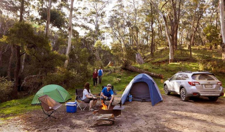
Lerderderg Campground
Mackenzies Flat
OBriens Crossing
Lerderderg State Park
This area is well known for its wildlife. Keep an eye out for:
Tours and adventure experiences in parks
One of the best ways you can get into nature is with a Licensed Tour Operator.
There are more than 400 Licensed Tour Operators across Victoria who are ready and waiting to help you experience and connect with Victoria’s spectacular parks and waterways.
Discover more than 60 different types of nature-based experiences including hiking, mountain biking, boating, four-wheel driving, indigenous culture tours, birdwatching, surfing, diving and so much more.
Licensed Tour Operators know all the best places to go and will plan and prepare your visit to ensure you are safe and can enjoy your nature-based adventure to the fullest.
How to get there
Lerderderg State Park
When you're there
Camping & accommodation
Fees do not apply to these campgrounds. No bookings are taken for campgrounds where fees do not apply. Camping is first in, first-served. Check out these locations.Need to know
Lerderderg State Park
Accessibility
Visiting a park can be more of a challenge for people with disabilities, however in Victoria there are a wide range of facilities to help people of all abilities enjoy our wonderful parks around the state.
Assistance dogs are welcome in Parks Victoria parks and reserves. Entry requirements apply for parks and reserves that are usually dog prohibited, such as national parks.
Subscribe to Parks Victoria
Sign up to receive the latest ideas, inspiration and news delivered right to your inbox.
Safety
Thinking of visiting Lerderderg State Park this summer? If you're planning a hike, here’s what to consider before you leave home:
- Know your limits. Hikes beyond Graham Dam have difficult terrain.
- Leave yourself plenty of time to get back - at least four hours.
- Bring enough water – at least 3-4 litres per person.
- Wear appropriate footwear.
- Check for fire and severe weather warnings. Sections of riverside tracks may become flooded and impassable after heavy rain.
Change of Conditions
Nature being nature, sometimes conditions can change at short notice. It’s a good idea to check this page ahead of your visit for any updates.
-
Notices Affecting Multiple Sites
Holt's Road and Nuggety Track Closure
Holt’s Road and Nuggety Track are both closed to all vehicles due to possible collapse of track surfaces. Geotechnical testing will be conducted in the future to determine rectification process of affected surfaces.Attachments: HoltsNuggetyClosed (2,704KB)
-
MacKenzies Flat Picnic Area (Lerderderg River Heritage River, Lerderderg State Park)
Mackenzie's Flat Picnic Area BBQ's closed - Flood Damage
The BBQ facilities at Mackenzie's Flat Picnic Area are flood impacted and will remain closed until further notice. -
Lerderderg State Park
Pyrete Range - Pyrites No. 2 Track area (off Walsh Road) temporarily CLOSED
Pyrete Range - Pyrites No. 2 Track area (off Walsh Road) temporarily CLOSEDWhy:Planned burning operations are scheduled in this area.
All tracks and areas are closed to all visitors until the area is declared safe for visitors.Please adhere to all closure and advice signs in the area while the planned burn operation is conducted.Check the status of current planned burns at https://plannedburns.ffm.vic.gov.auPyrete Range - area off Hobbs Road temporarily CLOSED
Pyrete Range - area off Hobbs Road temporarily CLOSEDWhy:Planned burning operations are scheduled in this area.
All tracks and areas are closed to all visitors until the area is declared safe for visitors.Please adhere to all closure and advice signs in the area while the planned burn operation is conducted.
Check the status of current planned burns at https://plannedburns.ffm.vic.gov.au