


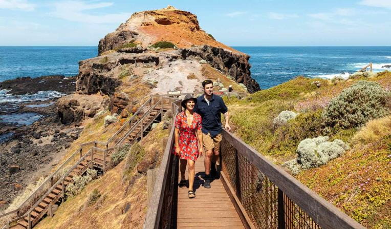
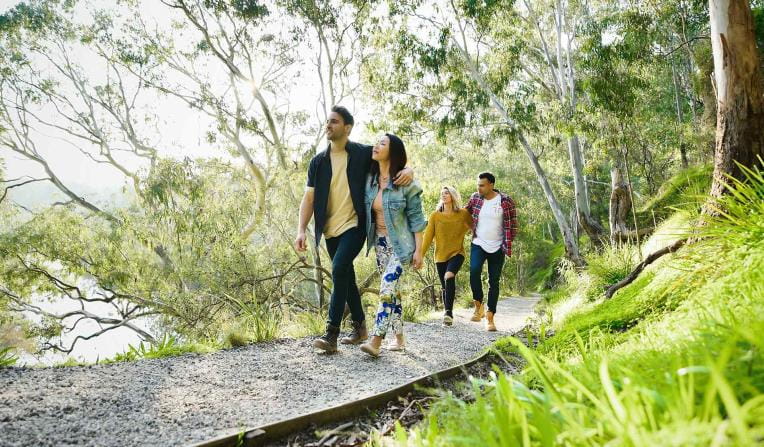
Popular experiences
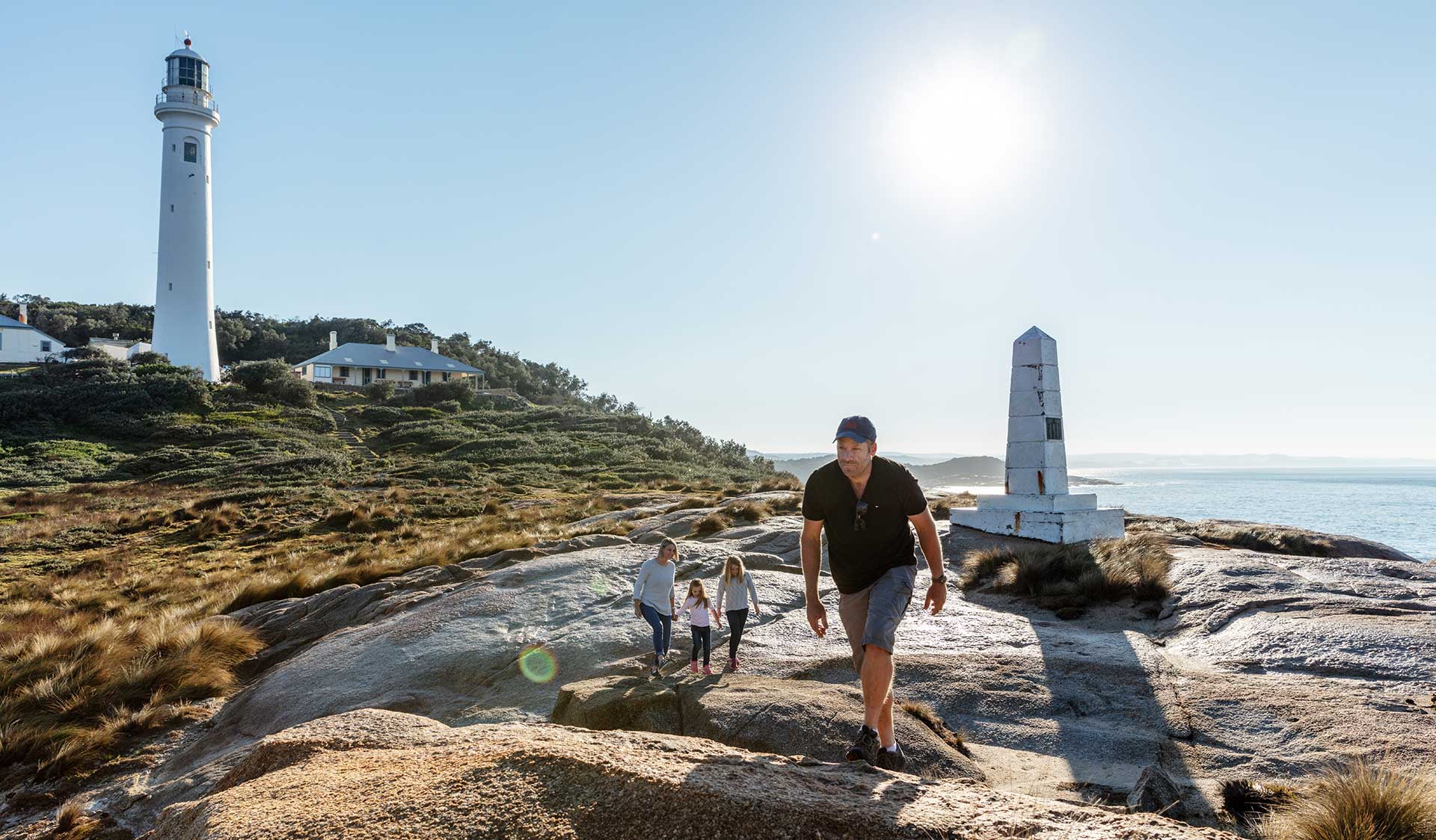
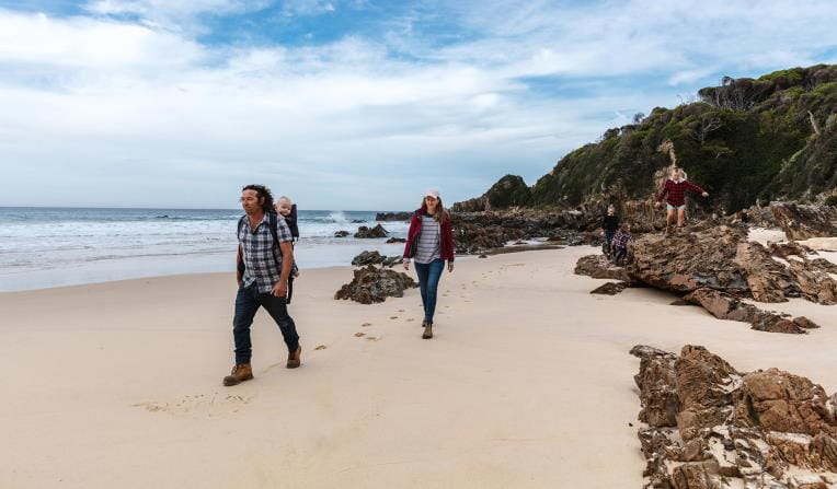
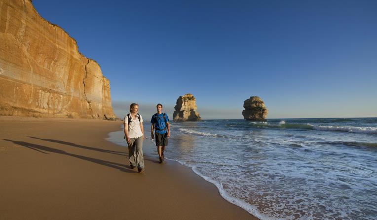
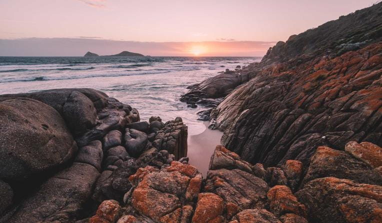
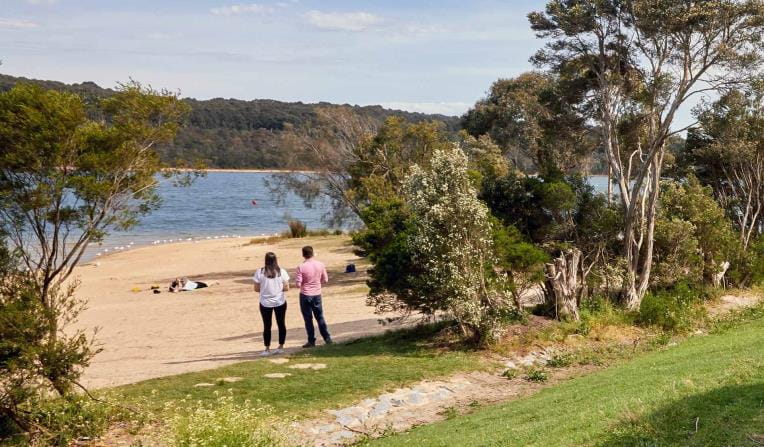
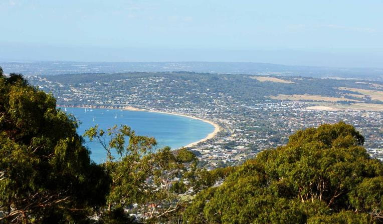
Beaches and Coasts
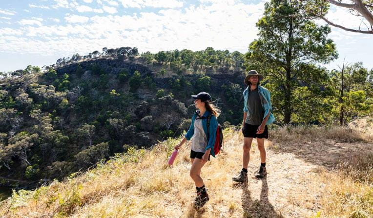
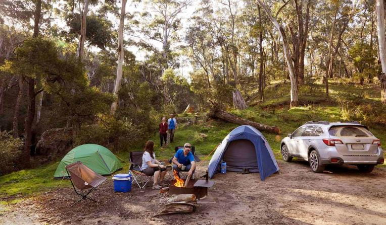
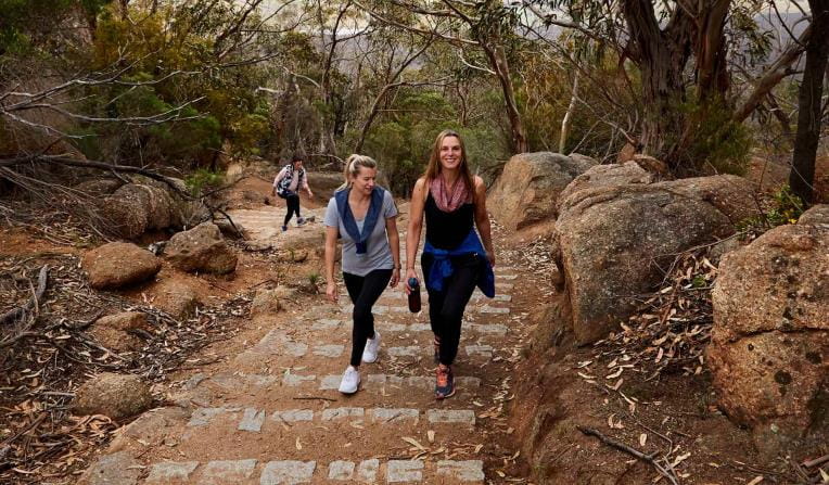
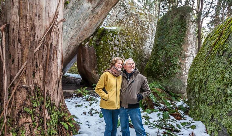
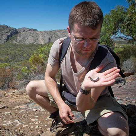
 Rugged Bushlands
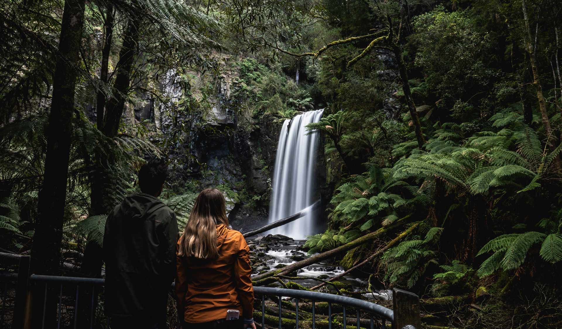
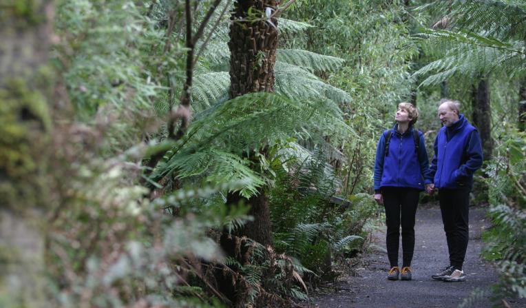
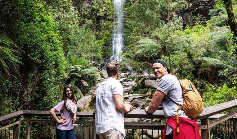
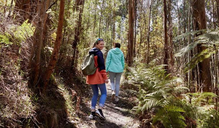
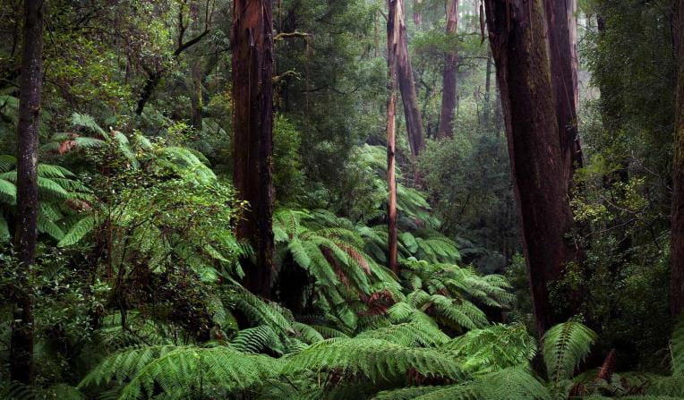
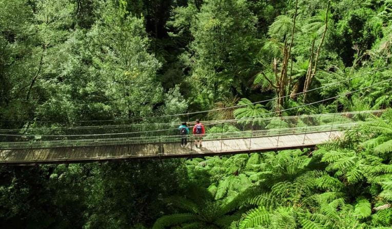
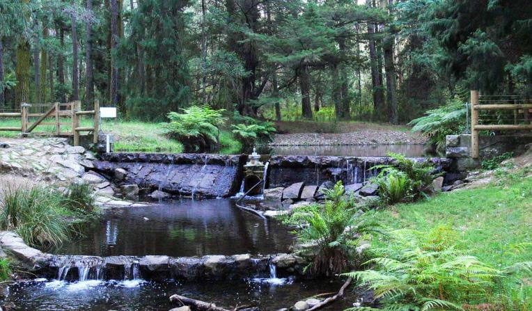
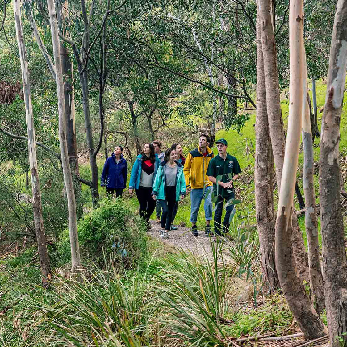
 Tall Forests
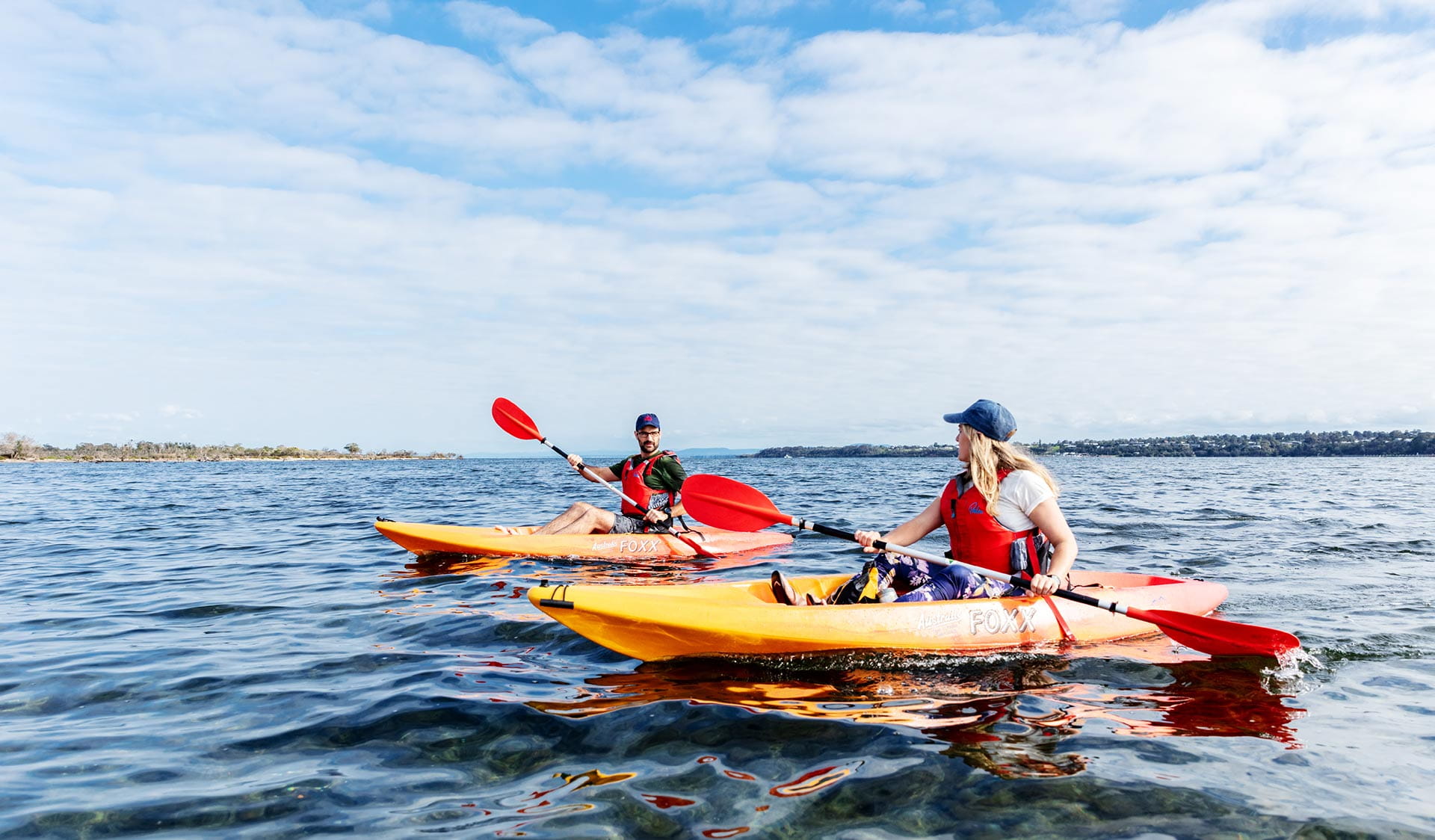
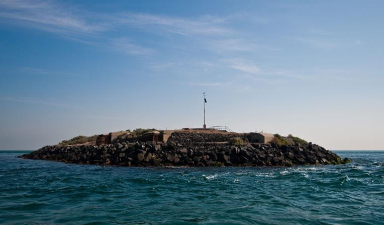
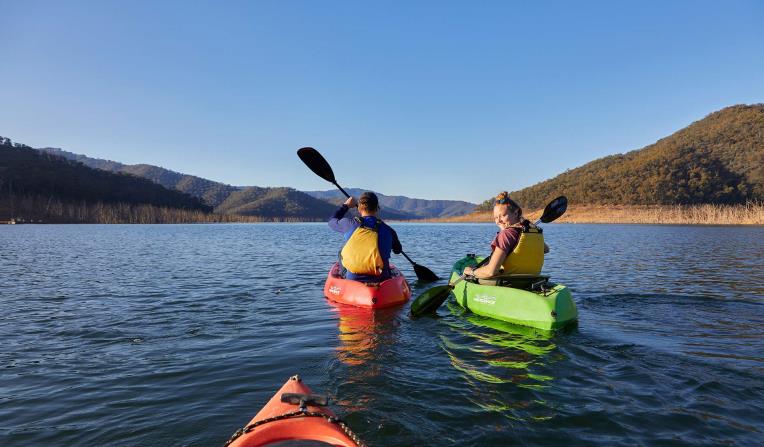
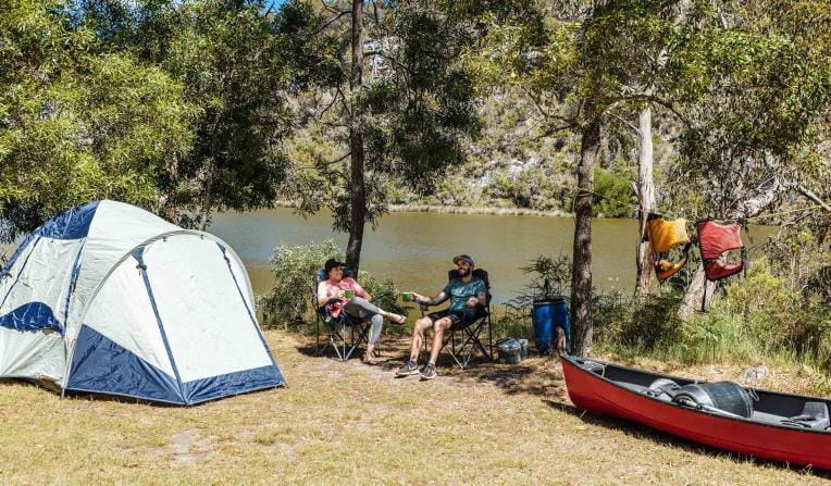
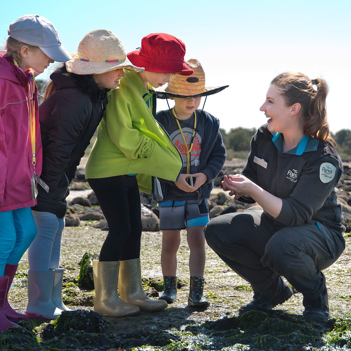
 Bays, Lakes and Rivers
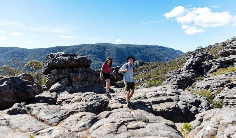
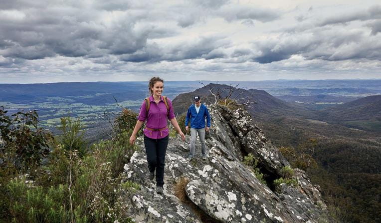
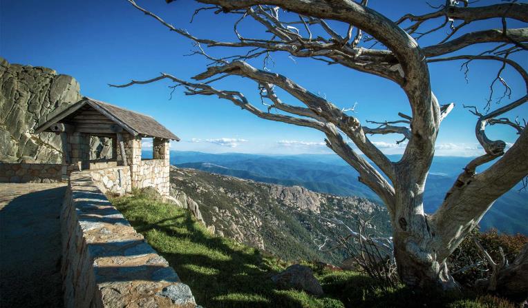
 Mountain Peaks
 Urban Parks

Rugged Bushlands
Tall Forests
Bays, Lakes and Rivers
Mountain Peaks
Urban Parks


Beaches and Coasts
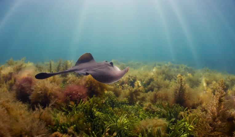
Venture out along Victoria's dramatic coastline and explore one of the most biodiverse and unique marine ecosystems in the world.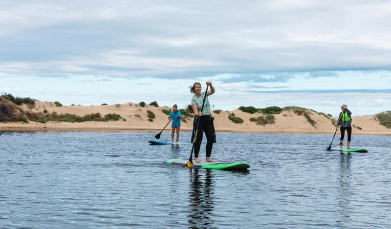
Rugged Bushlands
Escape to virtual isolation in open, dry forests and woodlands, dry and semi-dry arid deserts or grassy plains abundant with wildflowers and wildlife.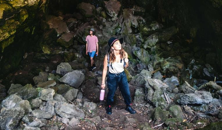
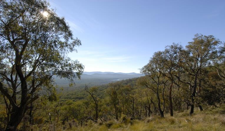
Tall Forests
Walk under grand canopies of Mountain Ash and through lush green tall forests. See ancient mossy trees and stand under magnificent waterfalls surrounded by giant ferns.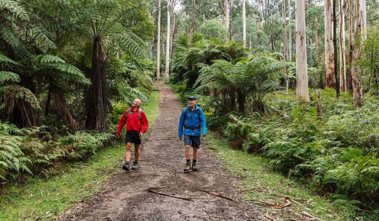
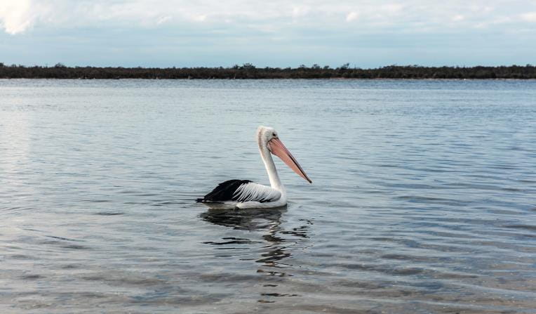
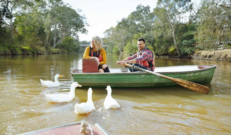
Bays, Lakes and Rivers
Explore Victoria's parks from the water with a variety of inland river systems, ports made up of wide bays and stunning tranquil lakes.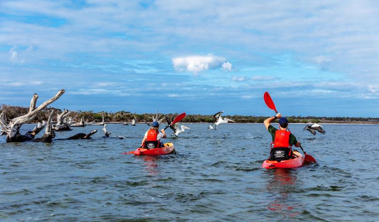
Mountain Peaks
Climb some of Australia’s most stunning mountain peaks, cross-country ski across alpine landscapes, escarpments and hike through grassy high plains.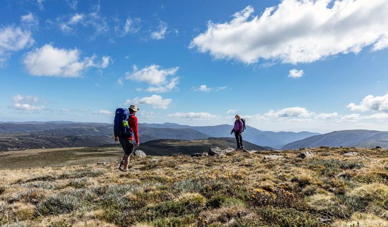
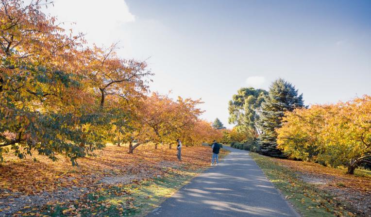
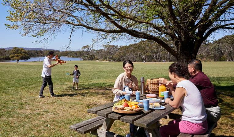
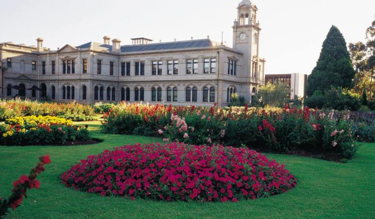
Urban Parks
Walk, jog, run or cycle in Melbourne’s picturesque urban parks. Pack a picnic or BBQ and lunch alfresco in nature or meander through picturesque gardens.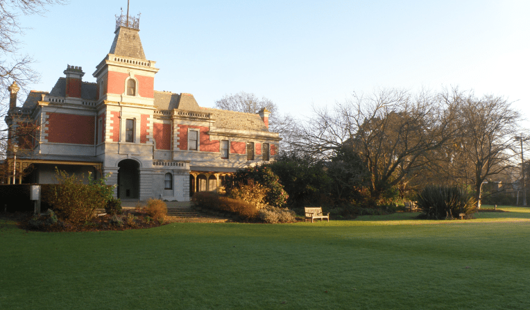
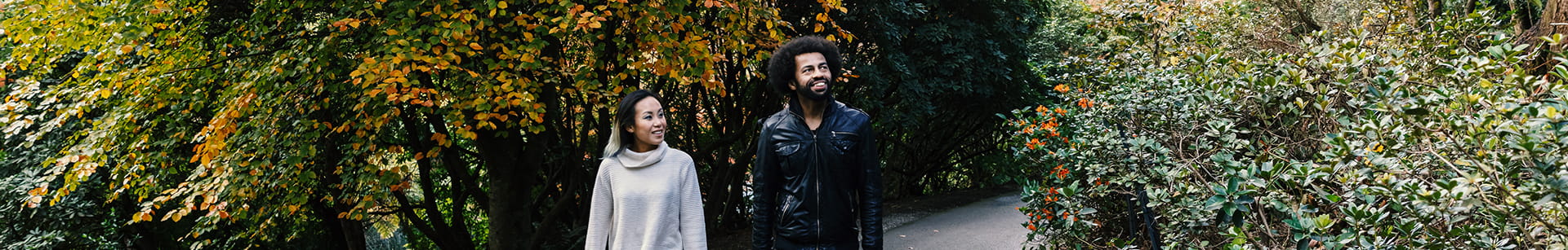
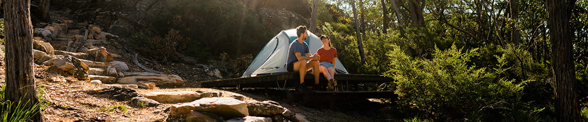
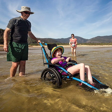
Get into nature
News

Volunteering kickstarted Kelsey's career in conservation at Wilsons Prom
Wilsons Prom has been a cherished sanctuary for Kelsey Fraser ever since she was little, igniting a passion that led her to dedicate her time to its care as a volunteer with the local Friends group. This commitment helped nurture her connection to the park and later gave her the experience needed to secure a career with Parks Victoria.

Lead design consultant appointed for Clyde and Werribee Township Regional Parks
Communities in the growing areas of Wyndham Vale, Tarneit and Clyde are one step closer to enjoying more green spaces, with a lead design consultant appointed for Werribee Township and Clyde Regional Parks.

Plans progressing for Warburton Redwood Forest upgrades
Plans to upgrade facilities at the Cement Creek Redwood Forest in Warburton are progressing, with Parks Victoria currently seeking tenders to construct new visitor facilities at the site.