Explore
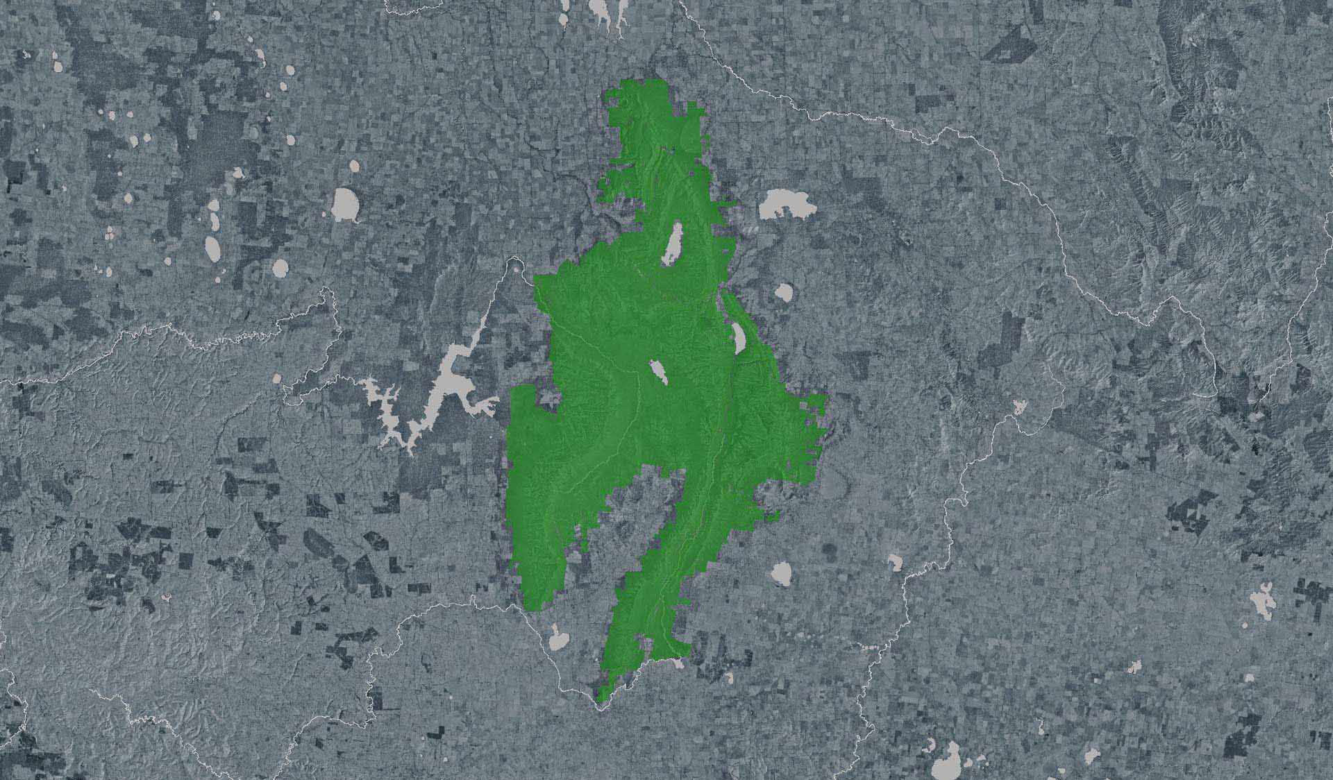
MacKenzie Falls Walk (Grampians National Park)
How to get there
MacKenzie Falls Walk (Grampians National Park)
Need to know
MacKenzie Falls Walk (Grampians National Park)
Safety in nature
You can benefit both mind and body when you get outdoors to explore and experience Victoria's natural places. Before you go, take a look at our safety tips and check our changed conditions and closures information for a great visit.
Accessibility
Visiting a park can be more of a challenge for people with disabilities, however, in Victoria there are a wide range of facilities to help people of all abilities enjoy our wonderful parks around the state. Parks Victoria provides a range of a equipment, including all-terrain and beach wheelchairs, facilities, accommodation and accessibility information and programs to help you plan and enjoy your visit to Victoria's parks.
Assistance dogs are welcome in Parks Victoria parks and reserves. Entry requirements apply for parks and reserves that are usually dog prohibited, such as national parks.
Warnings & Restrictions
Dogs
Restrictions
- No fishing
- No motorised vehicles, including electric bikes or scooters allowed on management vehicle only paths, tracks or roads
- No vehicles
- No firearms allowed
- No generators
- No fires permitted
- No horses
- No dogs allowed
- No camping
- No bicycles
Warnings
-
Terrain hazards
- Slippery rocks
- Unstable cliffs
- Steep track
-
Other warnings
- Limbs may fall take care
Be Prepared
Change of Conditions
Nature being nature, sometimes conditions can change at short notice. It’s a good idea to check this page ahead of your visit for any updates.
Temporary Closure Notification – Planned Burn – Millstream Creek

Mountain Lion (Designated rock-climbing and bouldering area) – Temporary exclusion
Grampians (Gariwerd) National Park - Bushfire Closures Update - April 26, 2024
Mt Zero Road Closure – Mud Hut Creek bridge replacement – 7th May to July 2024
Attachments: Mud Hut Creek - Bridge Works 2024 (584KB)
Grampians National Park - Autumn planned burn season underway
Sign up via Planned Burns Victoria at www.vic.gov.au/plannedburns